Build vessel monitoring systems that work where cellular doesn’t.

SKYWAVE gives maritime IoT solution providers satellite and hybrid satellite-cellular connectivity to build and scale VMS platforms faster. By reaching vessels coastal networks can’t, partners can expand their addressable market, accelerate solution deployment and differentiate their offerings without rebuilding their existing platforms.

Comece
30+ years
of industrial IoT expertise
500+ partners
globally
90+ countries
Deployments across

Where cellular coverage ends, so does visibility

Coastal cellular networks cover harbors and near-shore waters well. Once a vessel moves further out, that coverage drops and with it, position data, regulatory reporting and crew communication.

For solution providers building vessel monitoring systems, the coverage gap is a core problem. A VMS platform that keeps reporting once a vessel leaves cellular range gives operators visibility they’d otherwise lose at the point it matters most.

  • Coastal cellular networks don’t follow vessels into open water
  • Fisheries regulators require auditable catch and route data regardless of where vessels fish
  • Safety incidents and mechanical failures can happen at any point in a voyage, not just within cellular range

Regulatory pressure—IUU fishing and catch reporting

Illegal, unreported and unregulated (IUU) fishing is a global enforcement challenge. Fisheries authorities increasingly mandate vessel monitoring systems that provide timely position, route and catch data for compliance and enforcement.

Solution providers building VMS platforms on SKYWAVE connectivity supports their government and commercial customers:

  • Geofencing of marine protected areas and exclusive economic zones (EEZs)
  • Real-time alerts when vessels enter restricted zones
  • Cross-checking of declared versus actual catch at port using connected sensor data
  • Audit-ready reporting for fisheries authorities
  • Route and activity logs that meet maritime IoT compliance requirements

ETNECA—3,500+ vessels monitored across Thailand and Myanmar

  • 3,500+ fishing vessels monitored
  • Largest VMS market share in Thailand
  • Built on SKYWAVE since 2014

ETNECA is Thailand’s leading maritime satellite communications provider. Starting in 2014, ETNECA built a VMS solution on SKYWAVE connectivity to help Thailand’s Department of Fisheries and Royal Thai Navy monitor commercial fishing fleets and enforce fisheries regulations.

Today, ETNECA monitors more than 3,500 fishing vessels and holds the largest market share in Thai VMS. The solution tracks vessel position, sailing route, speed, heading and catch reporting events from departure, through the fishing zone, to return to port, giving authorities an auditable record of each voyage.

SKYWAVE’s programmable terminals gave ETNECA the flexibility to build beyond basic vessel tracking. ETNECA developed E-Chat, a crew communication application built on top of the VMS platform, giving fishermen a low-data way to message their families from sea.

The same platform also supports geofencing enforcement: when a vessel crosses into a restricted zone, authorities receive an alert and the data provides an auditable trail for enforcement action.Partners get more than connectivity—they gain a programmable platform that lets them build differentiated services, expand revenue opportunities and deliver greater value than basic vessel tracking alone.

The devices and service from SKYWAVE are very stable and reliable. They are highly programmable and configurable, which allows ETNECA to build a customized solution for delivering to fishermen to meet the Thai VMS requirements.” —Chatri Petchor, Overseas Manager, ETNECA

Operational pressure—fuel and vessel efficiency

Fuel is one of the largest operating costs in commercial fishing and maritime transport. Solution providers can build efficiency applications that help vessel operators analyze fuel use, engine performance and voyage profitability.

For solution providers, that data is also a retention play: fleet operators renew the platforms that keep proving their value trip after trip.

  • Real-time fuel consumption per voyage
  • Engine performance monitoring and fault alerts
  • Route data for post-voyage efficiency analysis
  • Fuel cost data by trip, to support profitability analysis

PT SOG—fishing fleet efficiency across Indonesia

PT SOG is an Indonesian IoT solution provider that built a vessel monitoring and fleet management platform on SKYWAVE connectivity. The solution gives fishing vessel operators in Indonesia visibility into vessel position, fuel consumption, engine performance and crew safety.

Read the PT SOG case study

Safety pressure—crew and asset protection

Crew safety and vessel security matter in maritime operations. Response time depends on whether a vessel can communicate an incident quickly and reliably.

Solution providers can build safety and security applications on SKYWAVE that give vessel operators:

  • Ship-to-shore communications
  • Unauthorized movement and theft alerts for high-value vessels
  • 24/7 monitoring with automated incident alerts
  • Auditable response trails for insurance and regulatory purposes

GOST—premium vessel security and tracking

GOST builds vessel security solutions for high-value commercial and recreational vessels. GOST integrates SKYWAVE connectivity into its platform to deliver reliable, satellite-backed vessel tracking and security monitoring.

With ORBCOMM’s technology and our new, streamlined vessel tracking interface, customers have access to the most reliable and user-friendly system on the market.” —Brian Kane, Chief Technology Officer, GOST

Build VMS solutions faster with the VMS Terminal App

SKYWAVE’s VMS Terminal App gives solution providers a ready-to-use application layer for SKYWAVE terminals. There’s no custom programming required to get core VMS functionality working, which means less time between a signed contract and a working pilot.

The app provides connectivity and reporting logic, allowing partners to focus on their platforms. It includes:

  • Configurable position reporting to meet government and fisheries regulations
  • Onboard geofencing across up to 128 user-defined zones with automatic entry and exit alerts
  • Tamper detection for GPS jamming, power loss, antenna obstruction and hardware disconnection
  • Flexible message routing to multiple backend applications and regulatory reporting systems
  • Optional ship-to-shore messaging when paired with the Mail terminal app
VMS terminal app datasheet

Build your vessel monitoring solution

Ready to build maritime IoT solutions for compliance, efficiency, security and crew safety?

Integrates with partner platforms and custom systems via APIs

Regulatory-compliant VMS connectivity

Backed by ORBCOMM’s 30+ years of maritime IoT experience

Frequently asked questions

What is a vessel monitoring system (VMS) and how do solution providers build one?

A vessel monitoring system is a satellite or hybrid satellite-cellular connected platform that reports vessel position, route, speed and operational data to fisheries authorities, fleet operators or maritime security teams. Solution providers build VMS platforms by integrating satellite or hybrid satellite-cellular connectivity with their own software, devices, sensors and reporting interfaces. SKYWAVE provides the intelligent connectivity layer that keeps vessels reporting regardless of where they are at sea.

How does SKYWAVE connectivity support IUU fishing enforcement applications?

Solution providers building IUU enforcement platforms on SKYWAVE can implement real-time geofencing for marine protected areas and exclusive economic zones, generate alerts when vessels enter restricted zones and capture catch reporting data from connected sensors. The resulting auditable data trail supports compliance monitoring and enforcement.

Can SKYWAVE connectivity integrate with existing fleet management platforms?

Yes. SKYWAVE connectivity integrates with partner platforms through open APIs. Solution providers can add satellite or hybrid satellite-cellular connectivity to existing fleet management software, VMS platforms and maritime IoT systems without rebuilding their core architecture.

What is the difference between coastal cellular coverage and satellite vessel tracking?

Coastal cellular networks cover near-shore waters, while satellite vessel tracking supports reporting in open ocean and remote fishing zones. Hybrid satellite-cellular connectivity can apply least-cost routing, using cellular near port and satellite offshore. This can reduce connectivity costs and simplify deployment by avoiding separate hardware systems.

Is satellite IoT connectivity cost-effective for vessel monitoring?

Cost depends on application requirements and data usage. SKYWAVE’s OGx service offers flexible data pricing, so solution providers can build vessel monitoring applications that use data efficiently, reporting position and status at appropriate intervals, rather than paying for continuous high-bandwidth connectivity. For applications where cellular coverage is available near ports and coastal waters, hybrid satellite-cellular connectivity lets solution providers use the lower-cost cellular network when it’s available and satellite only when it’s needed.

Ajude seus clientes a ver
—mesmo no mar

Crie soluções de IoT que oferecem visibilidade marítima completa com conectividade confiável do navio à costa.

Comece

Pesca ilegal, não declarada e não regulamentada

  • Rastreie embarcações para monitorar a atividade de pesca em zonas restritas.

  • Use a cerca geográfica para sinalizar imediatamente embarcações que entram em áreas marinhas protegidas ou zonas econômicas exclusivas.

  • Verifique os relatórios de captura conectando sensores inteligentes em embarcações e portos para verificar a colheita declarada versus a real.

Fishing trawler moving on the sea with a connected navigation buoy nearby under a partly cloudy sky.

PT SOG reforça a sustentabilidade da pesca na Indonésia

A PT SOG, provedora de soluções de IoT, trabalhou com a SKYWAVE para criar uma solução de IoT que ajuda os operadores de embarcações de pesca a:

  • Rastreie a posição e a rota da embarcação, mesmo além da cobertura costeira, para melhorar a visibilidade e a segurança da embarcação.

  • Monitore o consumo de combustível e o desempenho do motor para otimizar a eficiência e reduzir custos.

  • Fortaleça a segurança da tripulação e aprimore as operações marítimas com comunicações navio-terra para um melhor monitoramento a bordo e em terra.

Monitoramento de navios

  • Rastreie a posição e a rota da embarcação, mesmo além da cobertura costeira, para melhorar a visibilidade e a segurança da embarcação.

  • Monitore o consumo de combustível e o desempenho do motor para otimizar a eficiência e reduzir custos.

  • Fortaleça a segurança da tripulação e aprimore as operações marítimas com comunicações navio-terra para um melhor monitoramento a bordo e em terra.

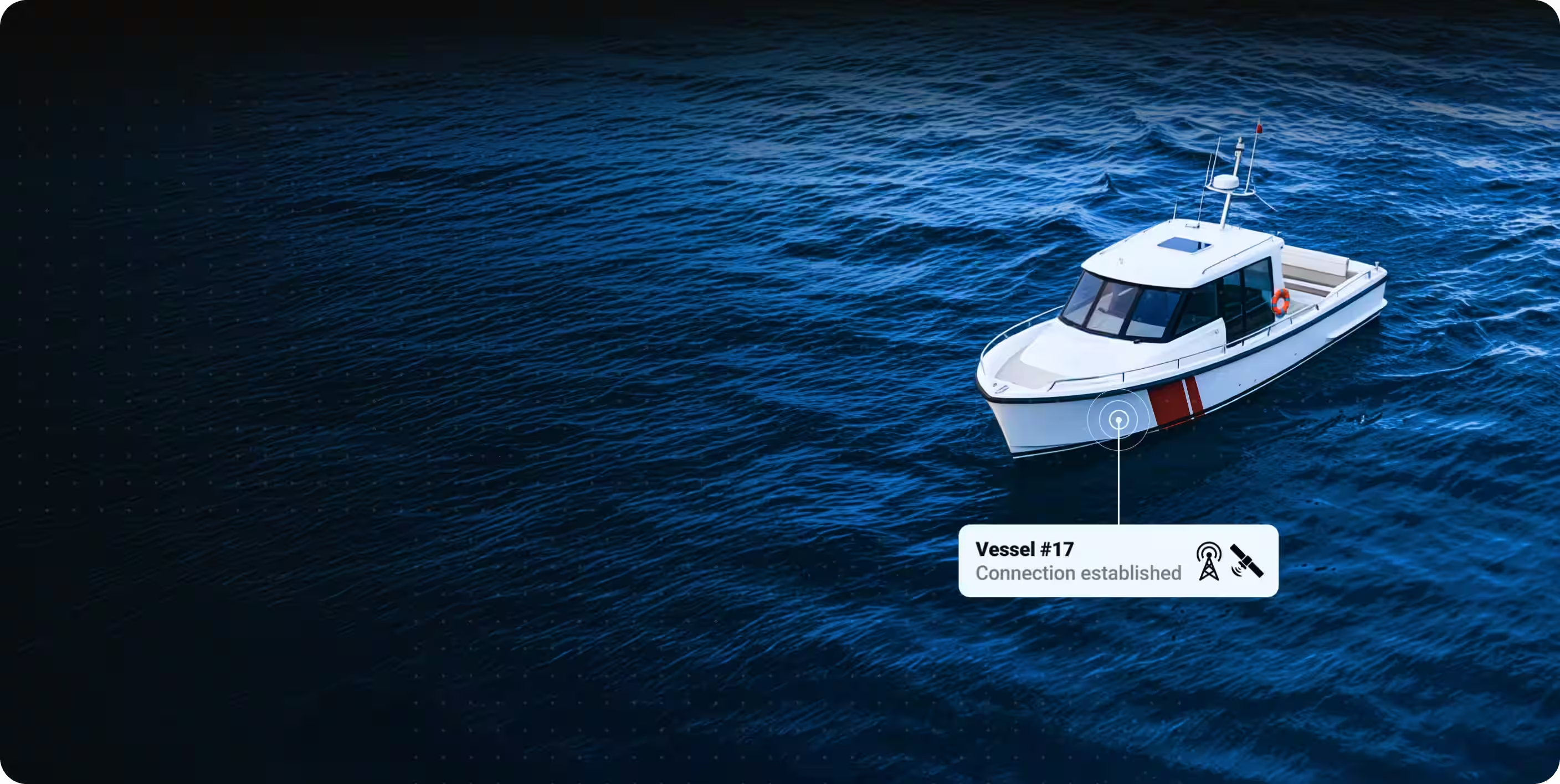
Aerial view of three vessels on deep blue water with digital connectivity indicators showing vessel numbers and connection established.

O GOST fortalece a segurança da embarcação com o rastreamento de embarcações por satélite

A GOST cria soluções de segurança de embarcações que ajudam proprietários e operadores a proteger seus ativos de alto valor. De acordo com o diretor de tecnologia da GOST, Brian Kane, o que eles oferecem não pode ser igualado pelos concorrentes.

“Com a tecnologia da ORBCOMM e nossa nova e simplificada interface de rastreamento de embarcações, os clientes têm acesso ao sistema mais confiável e fácil de usar do mercado.